
Crop health imaging
Survey & mapping
A five-band camera pulls apart what the eye lumps together: hungry plants, thirsty plants, and plants already fighting something off.
1.2 cm/px · NDVI, NDRE, thermal

Every field job we fly, with the specification and the price attached.
A five-band camera pulls apart what the eye lumps together: hungry plants, thirsty plants, and plants already fighting something off.
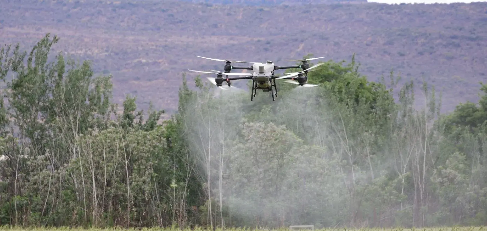
The boom opens where the map says pressure sits and closes everywhere else. Same load in the tank, considerably more ground behind you.
Seed goes into standing corn, soft bottoms and grades no spreader will climb, without a wheel ever touching the ground.
Counts every plant between V2 and V4, then converts the stand into a yield figure solid enough to quote to a buyer.
A thermal sweep surfaces plugged emitters, pivot shadows and the low corner that goes under every wet April.
Hail, wind and flood damage packaged with time stamps, field boundaries and acreage totals adjusters sign off on.