
Book a demo flight
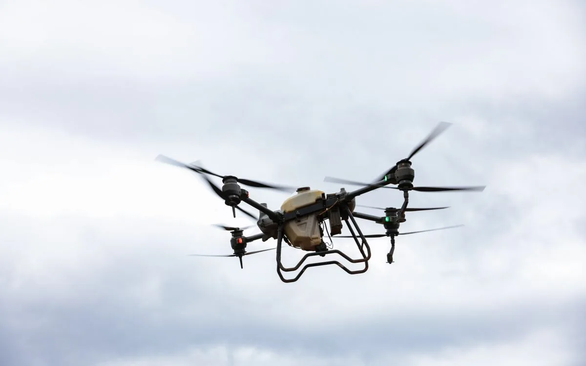
BWP Drone Pro

Crop health imaging

Survey & mapping
From$4.75 per acre
TurnaroundReport inside 6 hours
Coverage340 ac per flight

A five-band camera pulls apart what the eye lumps together: hungry plants, thirsty plants, and plants already fighting something off.

The first flight of a contract builds the reference layer. Every pass after that is compared against it, so a change of two percent in canopy vigour is visible weeks before it is visible from the cab. Zones come back ranked worst first, with the acreage and the likely cause attached.

Most growers start here. Imaging on its own changes what you spray and when, even if we never put an application aircraft over the field.

What the contract covers

  • One full reference flight before anything is applied

  • Ranked zone report with an estimated bushel loss per zone

  • Re-flight on the same grid so week six compares to week one

  • Agronomist commentary written in plain language

  • Fieldline access for you and your own agronomist

The numbers

  • Ground sample distance1.2 cm/px
  • Bands5 + RGB
  • IndicesNDVI, NDRE, thermal
  • Coverage340 ac / flight
  • DeliveryShapefile, GeoTIFF