



Crop health imaging
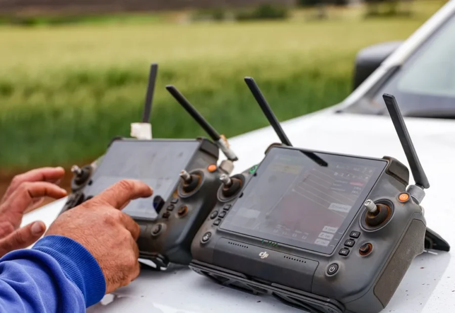
A five-band camera pulls apart what the eye lumps together: hungry plants, thirsty plants, and plants already fighting something off.
1.2 cm/px · NDVI, NDRE, thermal

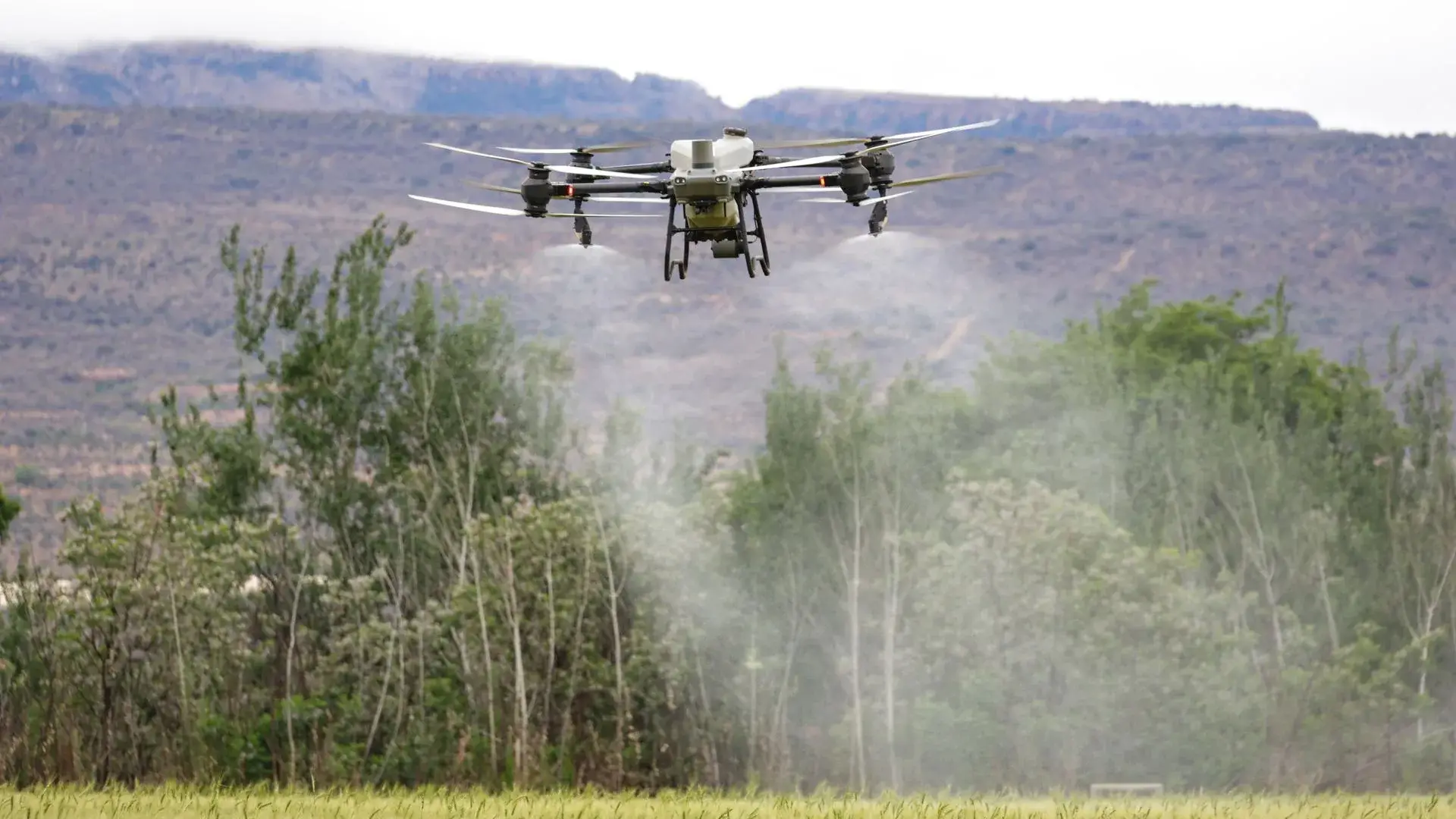
We survey, diagnose and treat your ground from the air. Sensor passes catch pressure while it is still small, applications follow a map instead of a hunch, and you finish the season with fewer inputs bought and more grain in the bin.
Pulled from flight logs and settled harvest data across six seasons of contracts. If a figure cannot be traced to a grower's books, it is not on this page.
Take one on its own, or let the imaging drive the applications. The second arrangement is where the money usually shows up.
A five-band camera pulls apart what the eye lumps together: hungry plants, thirsty plants, and plants already fighting something off.
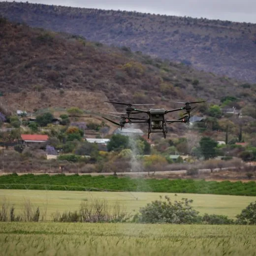
The boom opens where the map says pressure sits and closes everywhere else. Same load in the tank, considerably more ground behind you.
Seed goes into standing corn, soft bottoms and grades no spreader will climb, without a wheel ever touching the ground.
Counts every plant between V2 and V4, then converts the stand into a yield figure solid enough to quote to a buyer.
A thermal sweep surfaces plugged emitters, pivot shadows and the low corner that goes under every wet April.
Hail, wind and flood damage packaged with time stamps, field boundaries and acreage totals adjusters sign off on.
Nothing gets applied to a field we have not imaged first. Skip that step and you are back to paying for chemistry on acres that were already healthy.
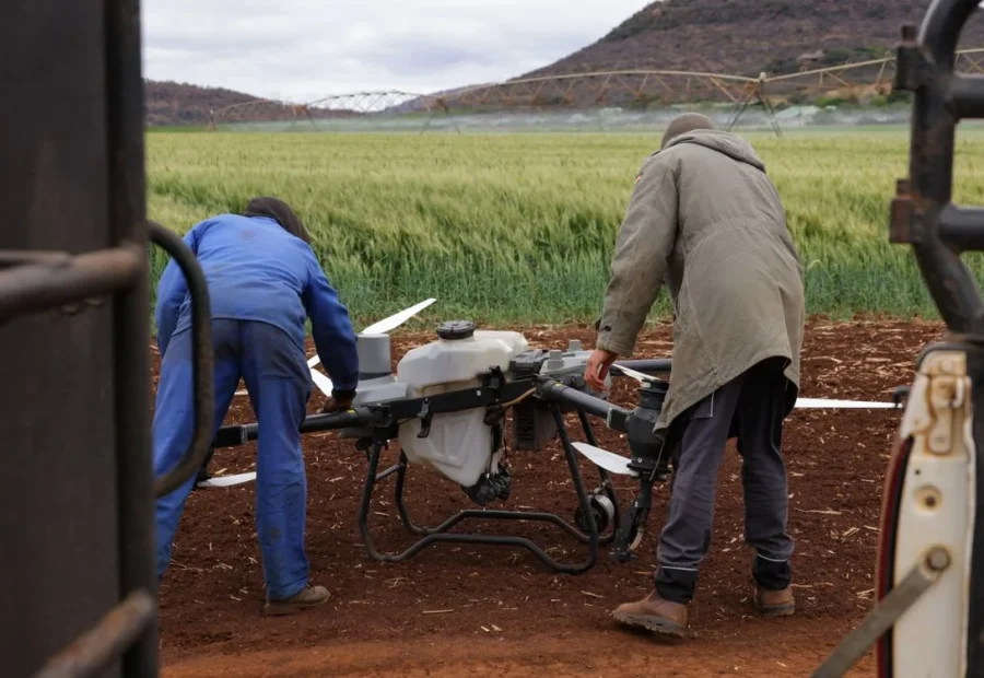
Send us boundaries and this year's plan. We clear airspace, log obstructions, note the neighbours who need warning, and file the operating notice.
One full imaging pass builds the layer every later flight is compared against. Without it, week six is guesswork dressed up as data.
An agronomist converts the imagery into a rate file, sends it over with the reasoning written out, and nothing is loaded until you reply.
The aircraft flies the map, and a follow-up pass a week later shows whether the crop actually responded. Then the cycle repeats.
Imaging asks for endurance and a steady sensor. Application asks for payload and pressure. Build one machine to do both and you get a machine that does neither properly.
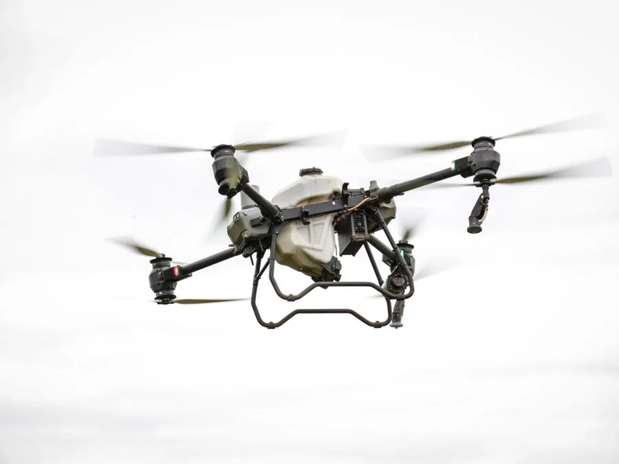 Imaging
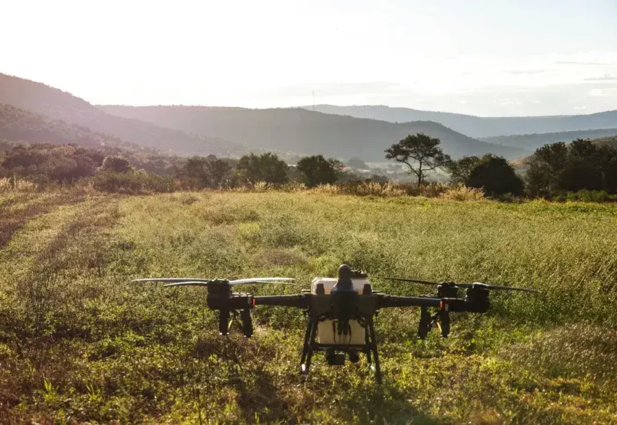
Behind almost every contract we run. Stays up long enough to finish a quarter section in one go, and holds the sensor steady while it does it.
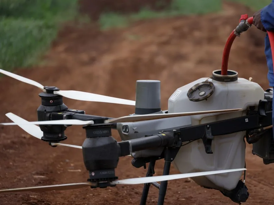 Liquid
Eight nozzles that open and shut on their own. It tracks straight through a crosswind and jumps rate the moment it crosses into a flagged zone.
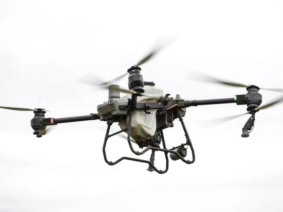 Granular
A wide spinner for cover crop, dry fertiliser and pasture repair. It works soaked ground in October that a spreader would only tear up.
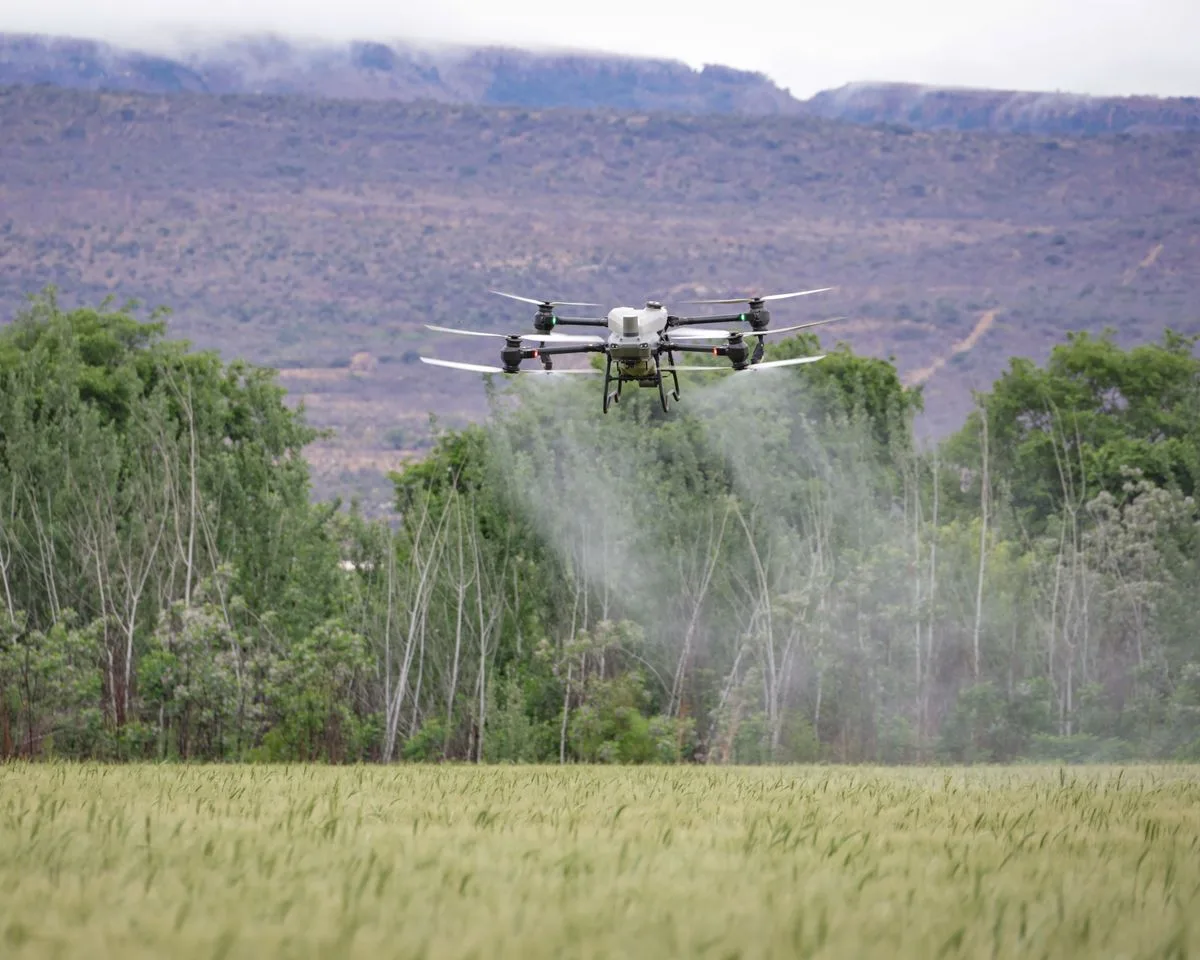
Cover a field wall to wall and your worst corner and your cleanest strip get exactly the same treatment. On most ground that means a third of the tank lands on plants that were fine to begin with.
Flow climbs inside a flagged zone and drops to nothing over headlands, drains and buffer strips, without anyone touching a control.
No tracks, no pinch rows, no compaction. In a wet spring that is often the only way a field gets treated on time at all.
Rotor wash pushes droplets down into the canopy, and each pass records wind speed, heading and nozzle state as it goes.
Acre-by-acre proof of product, place and time — ready for your agronomist, your grain buyer or an organic certifier.
Every mission arrives in Fieldline as a short list of what moved since the last flight, ranked worst first — not four gigabytes of imagery for you to squint at after supper.
Each flagged zone carries an estimated bushel loss attached, so the order of work chooses itself.
Shapefile, GeoTIFF and ISOXML as standard, with direct handoff into John Deere, Trimble and Raven controllers.
Let a landlord see one quarter, or an adjuster see one storm, without opening the books on the whole operation.
2.1 HA · SOUTH-EAST · TREAT IN 48 H
6.4 HA · STRIPS 7–9 · WATCH
34,100 PLANTS/AC · +2% ON PLAN
THERMAL DELTA 0.4 °C · NORMAL
Height, overlap, droplet size and timing all shift with what is growing underneath. These are the systems we have logged enough hours in to quote without hedging.
Corn, soy, wheat and cotton at scale, with passes booked against growth stage rather than a date on the wall.
Coverage down between rows and over trellis, where a ground rig bruises fruit and never quite reaches the top third.
Work carried out over standing water with no rutting, no levee repair afterwards and no three-day wait to dry.
Brush and invasive weeds knocked back plant by plant across country a crew would need a full week to walk.
High-value surfaces where a single wheel mark is a defect and even coverage is the entire product being sold.
Seeding burn scars, steep faces and riverbank replanting, on ground no machine has any business being on.
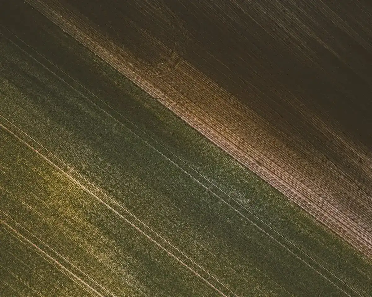
Two seasons of wall-to-wall fungicide had not touched the loss in their north-east block. We imaged the whole farm every ten days from V4 through R3 and treated only what the maps flagged.
The block was never sick. Thermal imaging found standing water under the canopy in week three, and the answer turned out to be a tile line rather than another tank of chemistry.
Product and seed pass through at cost with the supplier invoice attached. Two hundred acres is the smallest contract we take; anything under that we quote job by job.
Imaging and a straight read on every block. Applications stay with your own sprayer and your own crew.
Imaging and application on a single contract, so the map and the aircraft that flies it answer to the same team.
For operations past 10,000 acres, or co-ops flying members' ground under one shared agreement.
We ask for a review once the season is closed out and the numbers are settled. Nothing below has been edited.
What sold me was the follow-up flight. They come back a week later and show you whether the pass did anything. I had never had a service offer to be graded on its own work before.
Our blocks sit on a grade nobody wants to take a sprayer onto. The crew finished the whole thing in an afternoon, and the top of the canopy came out better covered than we ever managed by hand.

The chemical we did not buy covered the contract before August. The surprise was the water map, which explained a patch we had been treating as disease for four straight years.

They flew the quarter I had written off two years ago. The report came back the same evening with a tile line marked on it, and that field is back in rotation.

The as-applied log settled a boundary argument with a neighbour inside ten minutes. That alone was worth the season.

We used to spray on the calendar. Now we spray on the map, and the invoice for chemistry came in a third lower without a single acre going backwards.

If your question is not here, ring the dispatch line and ask to speak with an agronomist rather than a salesperson.
+1 (000) 575-898Not one. The certificates sit with us, the ratings sit with our pilots, and every notice and waiver is filed on our side. You supply gate access and a boundary file, and that is the whole of it.
Wind holding above 15 knots, rain falling, or visibility under three miles. Imaging can still go up in weather that would stop a spray pass, so a hold rarely wipes out the whole day’s schedule.
Processed imagery and the ranked report are in Fieldline within six hours of the aircraft landing. Anything urgent gets a phone call the same afternoon rather than an email that sits unread.
Most of our contracts run exactly that way. They get their own Fieldline login and the authority to approve, rewrite or throw out any rate map before it goes anywhere near an aircraft.
Whichever suits you. Supply it yourself and we bill only for the flying. Ask us to source it and it passes through at cost with the supplier’s invoice attached — there is no margin on product.
We hold full aerial application liability, and every flight writes its own as-applied log. If there is a problem, that log reaches you before you have thought to ask for it.
Working notes from the crew and the agronomy desk. No launches, no press releases.
Once the canopy closes, the index everyone quotes stops moving and stops telling you anything. NDVI saturates somewhere around V10 on most…
Read the noteWe went back through 4,000 missions to find out why flights got scrubbed. Three quarters of them traced to the same short…
Read the noteFlight time, battery cycles, product and labour laid out line by line, set against the identical job run with a ground rig.…
Read the note
We will fly it once at our cost, hand over the report in full, and leave the decision with you. Demo slots go out within ten working days right through the season.
A dispatcher comes back inside one working day with two flight windows to choose from.
Your details stay with us and go no further. Demo flights depend on airspace clearance and workable weather.